Fall Branch Falls
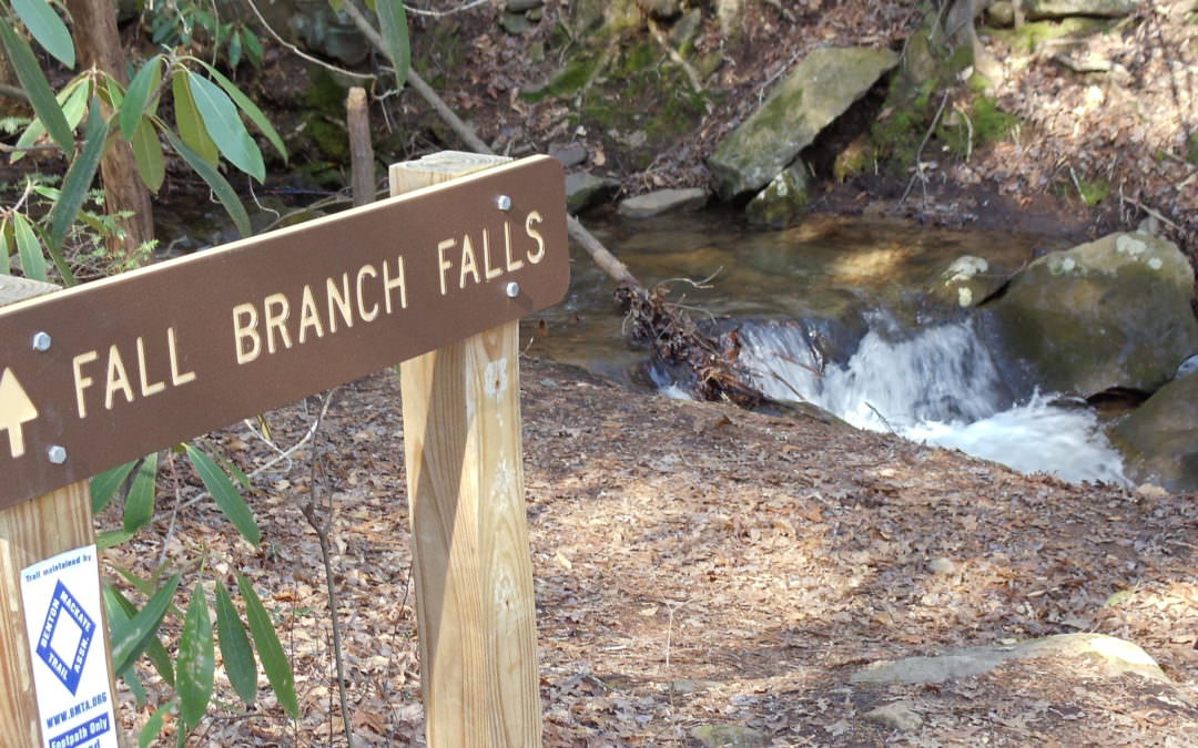
Fall Branch Falls is a beautiful little waterfall close to Blue Ridge and certainly close to the Lilly Pad Village. Only a few miles away by car, this short, 0.2 mile hike is great for small kids, elderly people and of course adults. The trail is part of the Benton MacKaye trail system, blazed with the white diamonds painted on trees along the way. Great photo opportunities both at the bottom and at the top of Fall Branch Falls. The hike to the waterfall is slightly up-hill, but as said previously, only a short 2/10ths of a mile. Beautifully shaded and fairly cool even during the summer months. Best hiked early mornings or late afternoons.
The Benton MacKaye Trail (BMT) is a footpath of nearly 300 miles (480 km) through the Appalachian mountains of the southeastern United States. It is designed for foot travel in the tradition of the Appalachian Trail (AT) It is blazed with the above mentioned white diamonds – Fall Branch Falls is only a very short section of the trail that starts at Springer Mountain (also the southern terminus of the Appalachian Trail) and continues to the Great Smokey Mountains.
Directions from the Lilly Pad Village
- Take a left on Aska Road
- In half a mile you will see the Toccoa Riverside Restaurant
- Turn right onto Stanley Creek Road.
- Continue driving on the paved road) three to four miles)
- When the road turns gravel (see a number of dilapidated building) drive 0.2 Miles. There is a field on your left.
- When you get back into the tree line park
- Trail will be on your right – marked by a white diamond painted on the tree,
- The hike is about 2/10th of a mile.
- Enjoy.
When finished hiking Fall Branch Falls, why don’t you stop at the Lilly Pad Village and have some fun gem mining or trying your luck fishing on Lilly Pond! If you are not sure of your directions, please stop by before your hike and we’ll be glad to provide verbal directions.
Scan the QR Code for Google Maps Pin: